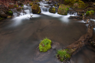
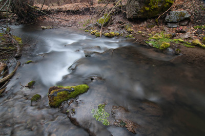
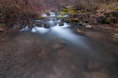
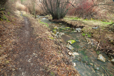
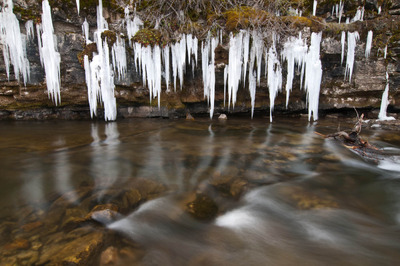
Today I realized that with all the photographs of Right Hand Fork I've got, I have a pretty good start at a project of that canyon itself. For such a relatively small geographic area, there's quite a variety of images to be made regarding the canyon and river. Cache Anglers collaborates with the Utah Department of Wildlife Resources and USU to restore the Cutthroat Trout population in Right Hand Fork, and it serves as a launching point to many different trails in the Bear River Range, including connecting with the Great Western Trail.
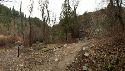
Last night I drove up and made these while my dinner was cooking over the fire.
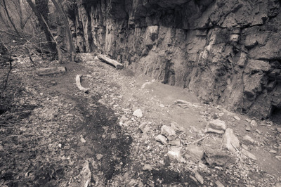
This morning I headed up the trail. It only goes up Right Hand Fork Canyon about a mile before it veers up Willow Creek. Another mile further up R. H. F. Canyon, there are some cliffs that I wanted to check out, which means I had to bushwhack a mile through dense brush, and follow the dry streambed. But not long after leaving the trail, the canyon walls narrowed to 20' to 60' wide, with ciffs on either side, ranging from only about 20 about 100 feet tall. The cliffs I had as a destination, according to the topo maps are at least 200 feet tall.
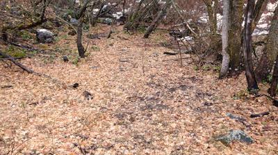
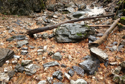
Since the sun can't reach the canyon bottom for very long during the day, there is still quite a bit of snow, and I really would have benefitted from bringing my snowshoes, but I didn't think I'd need them. Anyway, bushwhacking through dense brush and thigh-deep snow can really take it out of you, and add rain to the mix, I threw in the towel before I got too worn out to make it out safely. Once the snow is gone, I'll give it another go.
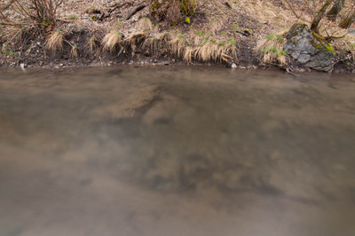
I did make some photographs along the way though.
After the hike, I decided to head up Logan Canyon and see how high up I could get on the road up to Tony Grove. On my way there, I saw this and had to stop and photograph it:
Lots of good images, and plumb tuckered out. I've had a good weekend so far.
